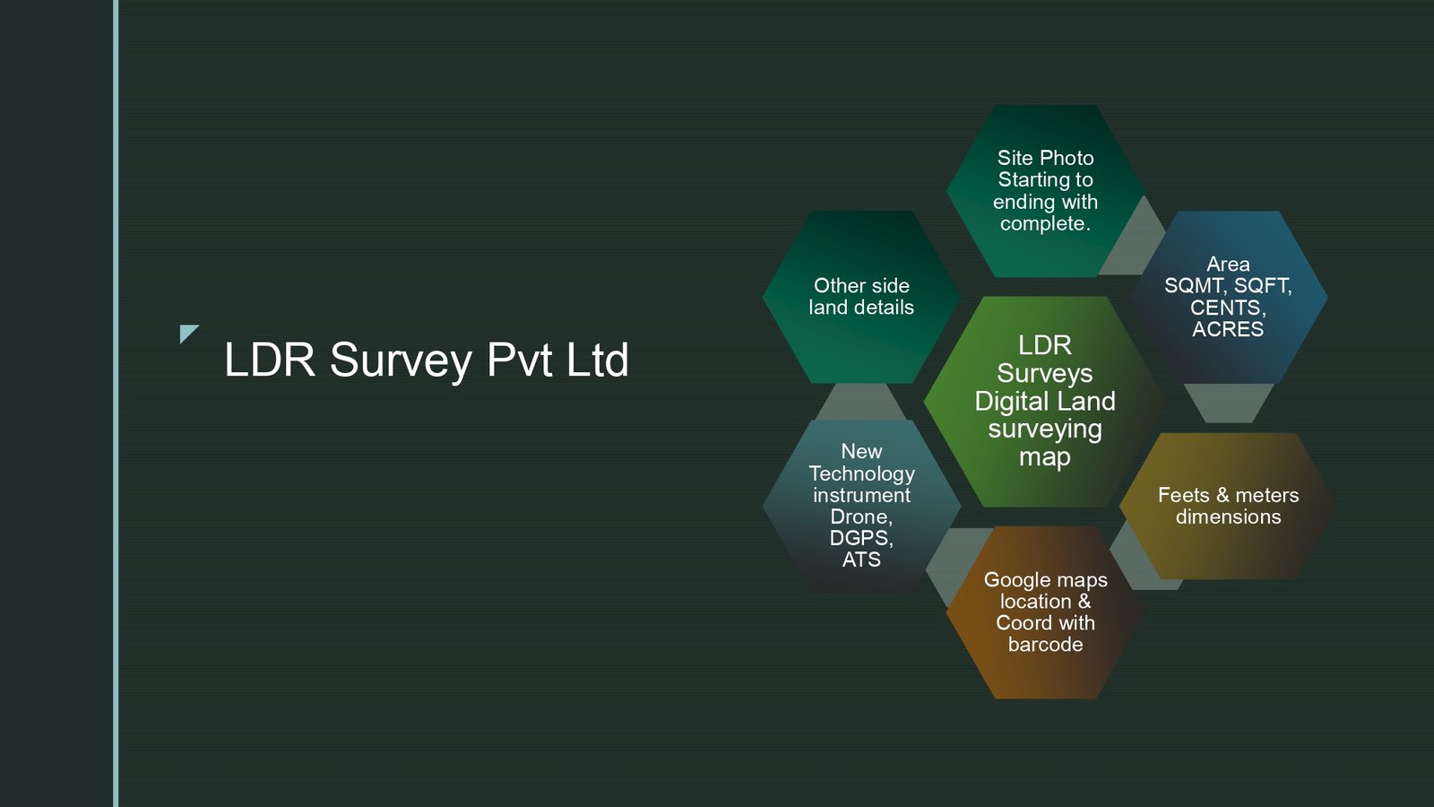
Digital Land Surveying
Why digital land surveying is the
modern standard.
DGPS, total station, drone (UAV) photogrammetry and CAD-based deliverables — the LDR Surveys way to give you accurate, dispute-proof land data, in a fraction of the time of traditional surveys.
Official Brochure
Why Land Survey — Chennai · Digital · LDR
The complete 8-page brochure as published on landsurveys.in.


Click any page to open the full-size image in a new tab.
Ready for accurate, digital land data?
Talk to our surveyors about your site and get a tailored quote.